
50+ Formats. Complete Ecosystem.
Import from every major geological, geophysical, and CAD format. Direct integration with laboratory LIMS, downhole instruments, and industry software. Your single source of truth connects to everything.
IMPORT FORMATS
50+ Data Formats Supported
Drillhole, geophysical, GIS, CAD, imagery, and legacy document formats. No conversion tools needed - just drag and drop.
DRILLHOLE & ASSAY DATA
CSV
XLSX
LAS 2.0
LAS 3.0
DLIS
MX Deposit
Geobank
GEOPHYSICAL FORMATS
SEG-Y
SEG-2
GRD (Geosoft)
GDB (Geosoft)
ERS
ASC (Grid)
XYZ
UBC Mesh
GIS & SPATIAL DATA
SHP
GeoJSON
KML/KMZ
GeoTIFF
ECW
GPX
WMS/WFS
CAD & 3D MODELS
DXF
DWG
OBJ
STL
IMAGERY & DOCUMENTS
PDF (OCR)
DOCX
JPG/PNG
TIFF
DICOM
HDF5
NetCDF
JSON
EXPORT FORMATS
Industry-Standard Output
CSV (UTM)
Drill coordinates, composites, assays
DXF / DWG (CAD)
3D surfaces, wireframes, block models
KML / KMZ
Google Earth targets, survey areas
PDF / DOCX
6-standard compliant resource reports
Excel / XLSX
Resource tables, grade-tonnage, economics
Python API (JSON)
REST API + Python SDK for automation
SOFTWARE INTEGRATIONS
Works With Your Existing Stack
3D model import/export. Leapfrog mesh, Central project sync.
Block model exchange, 00t format, triangulation files.
DTM surfaces, block model, drillhole data exchange.
Drillhole database, block model, wireframe exchange.
DM files, block model, Isatis.neo geostatistics.
Geological data management, XML data exchange.
GDB/GRD geophysical databases, magnetic/gravity grids, EM data.
Geodatabase, SHP, WMS/WFS services, ArcGIS Pro plugin.
Variogram model export, geostatistical parameter exchange.
Mine design exchange, block model for scheduling.
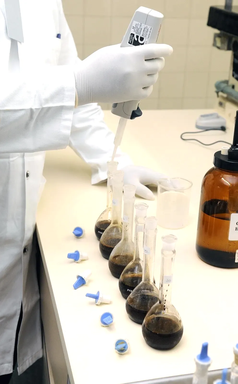
LABORATORY PARTNERS
Direct Lab Data Import
Automated assay result import via LIMS API. No manual CSV downloads. Overlimit alerts via SMS/email when results exceed user-defined thresholds.

ALS Geochemistry
Direct Webtrieve™ API integration. Auto-import assay results, CRM data, and QA/QC certificates. 80+ labs worldwide. Real-time batch tracking.
● LIVE API · OVERLIMIT ALERTS · QCPro™ SYNC
SGS
SGS Geochemistry
LIMS data feed integration. Assay certificates, sample tracking, duplicate results. Global network across 60+ countries.
● LIMS FEED · AUTO-IMPORT · QA/QC SYNC
BV
Bureau Veritas Minerals
Results API integration. Multi-element geochemistry, fire assay, base metals. Lab turnaround tracking in your dashboard.
● API INTEGRATION · BATCH TRACKING · ALERTS
HARDWARE INTEGRATIONS
Connect Your Field Instruments
Import data directly from downhole instruments, XRF scanners, and core photography systems. No intermediary software required.
IMDEX HUB-IQ™
Cloud portal for validated field data from the drill rig. Survey data, downhole measurements, and real-time drilling parameters imported automatically.
Olympus / Bruker pXRF
Portable XRF scanner data import. Multi-element geochemistry from field readings. Automated QC comparison with laboratory assays.
Core Photography Systems
Imago, CoreScan, HyLogger compatible. High-resolution core images streamed into 3D models. ML-powered mineral identification and lithology colour coding.
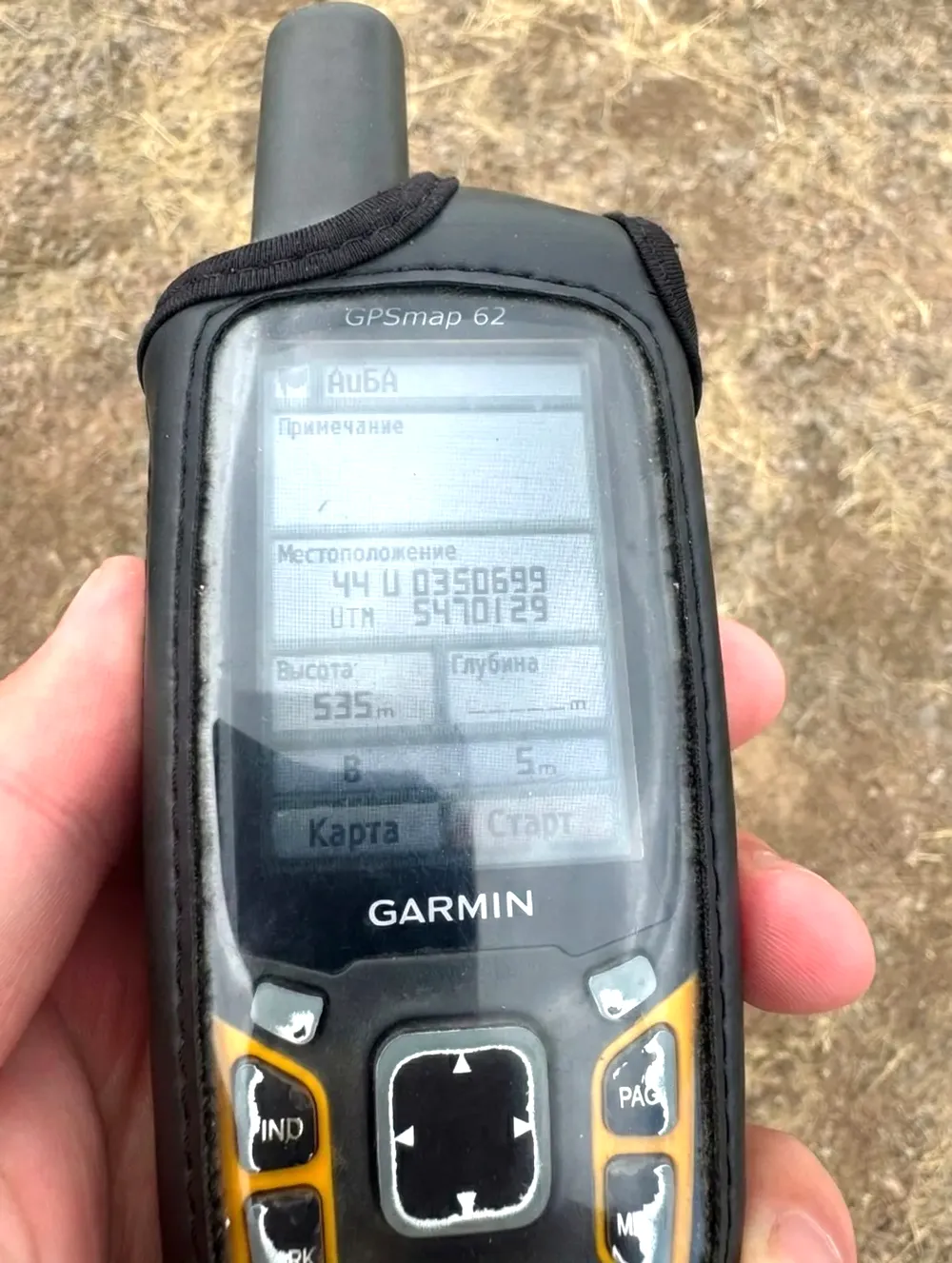
Downhole Survey Tools
REFLEX, DeviGyro, Boart Longyear inclinometer data. Automatic deviation calculations and 3D drillhole trace plotting.
Spectral Mineralogy
TerraSpec, ASD, SWIR scanner data. Hyperspectral mineral mapping integrated with lithological logging and alteration zonation models.
Drone & LiDAR
Point cloud import from DJI, senseFly, and terrestrial LiDAR. Surface DTM generation, pit volume calculations, terrain analysis.
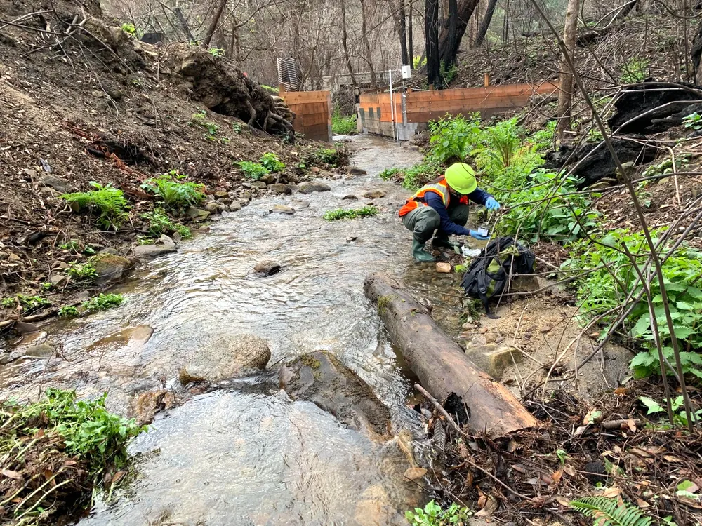
MOBILE & FIELD DATA COLLECTION
Capture Data Where Geology Happens
Browser-based field data collection works on any device - phone, tablet, or ruggedised laptop. Online and offline mode with automatic sync when connectivity returns.
Structural Measurements
Dip/strike, fault planes, bedding, foliation. Auto-populates stereonets in your project.
Field Mapping
GPS-tagged observations, lithology mapping, alteration notes. Photo attachment with coordinates.
Sample Logging
Barcode/QR sample tracking. Chain-of-custody from field to lab. Validation rules at point of capture.
Offline Mode
Full functionality without internet. Auto-sync when connectivity returns. No data loss.
DEVELOPER API
Python SDK & REST API
Automate estimation runs, schedule batch reports, build custom dashboards. Full programmatic access to every module.
# Example: Batch estimation with Python SDK
from coreelement import Client, Estimation
client = Client(api_key="your-api-key")
project = client.project("VEGA-GOLD-1")
est = Estimation(
method="ordinary_kriging",
variable="Au_ppm",
variogram=project.variogram("Au_spherical"),
block_size=[10, 10, 5]
)
result = project.estimate(est)
result.export_jorc_table1("VEGA_JORC_Table1.pdf")